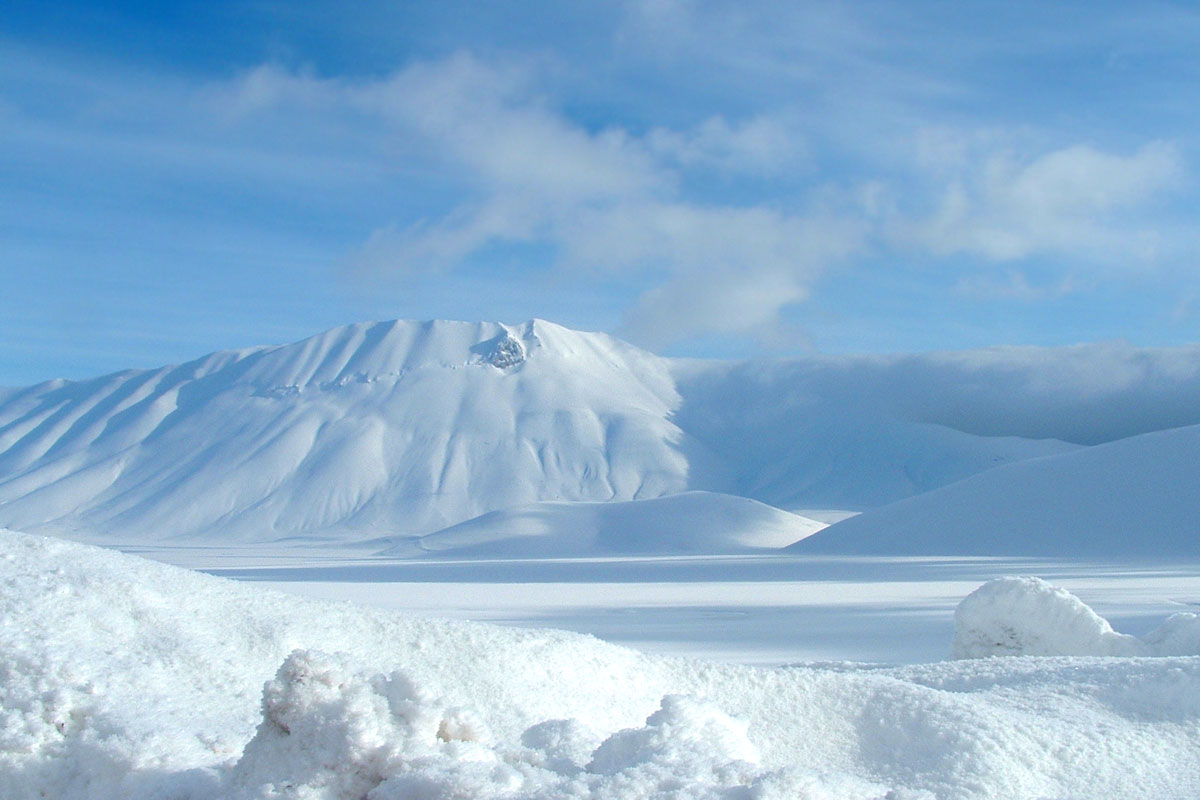
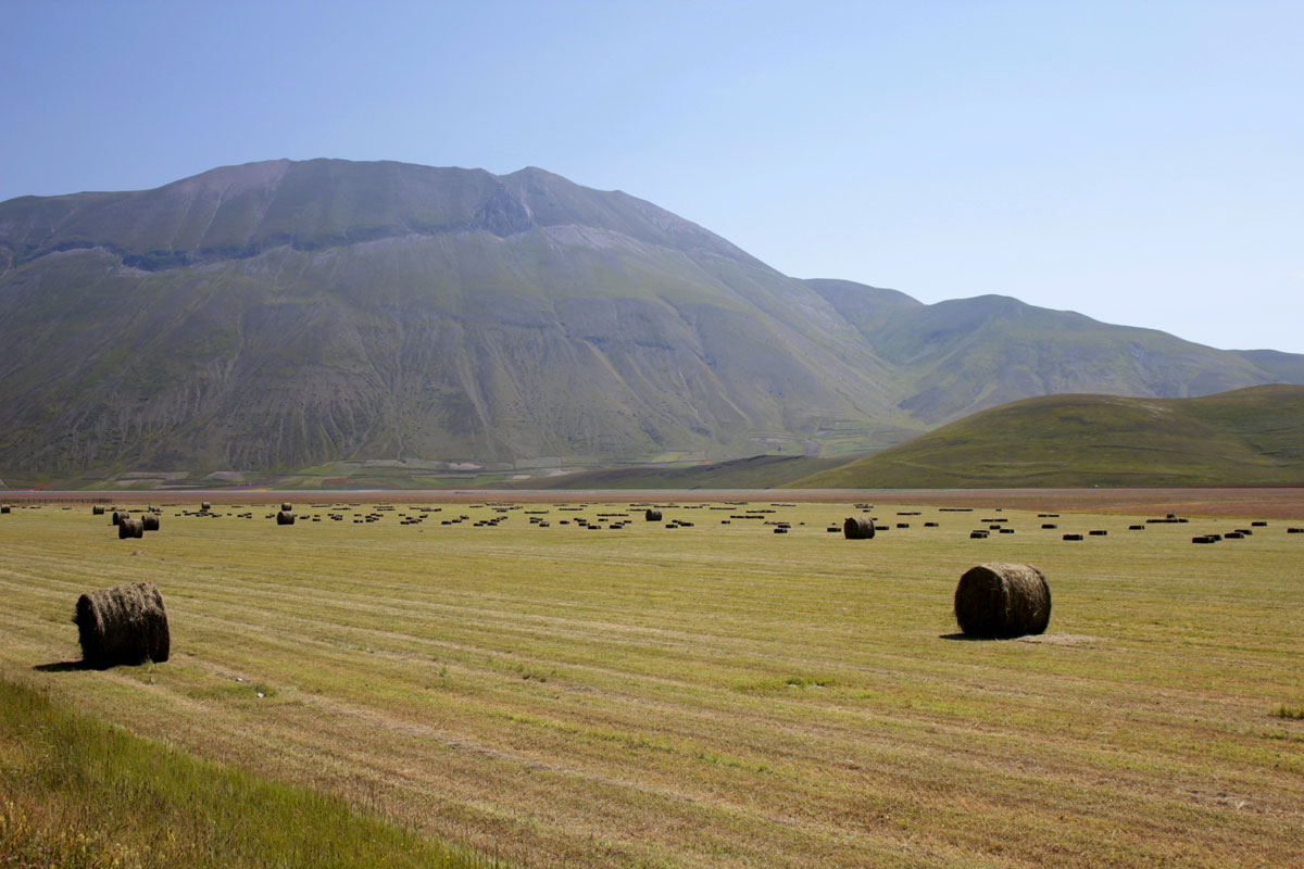
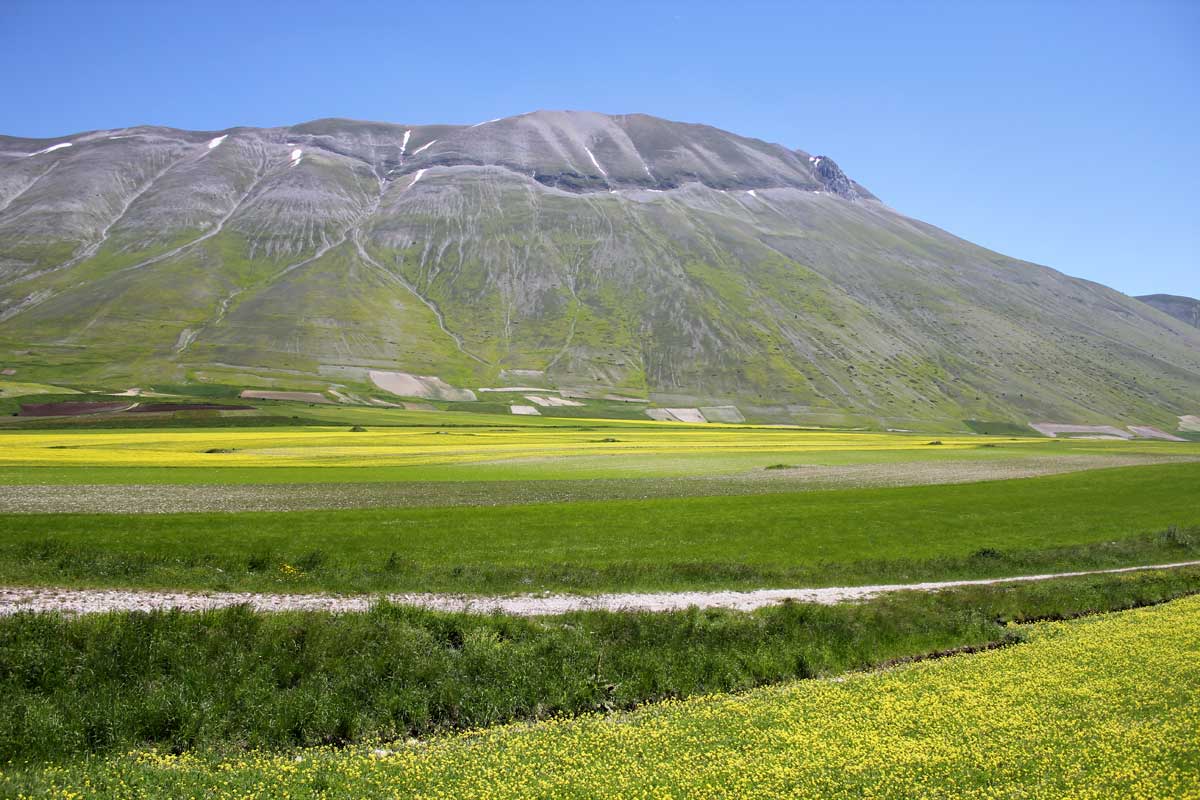
Mount Vettore
Mount Vettore the highest peak of the Park of Monti SibilliniThe name probably derives from Victor, winner in height on the other nearby peaks, seen from hight Mount Vettore has the shape of a horseshoe, which begins in the western part Viola da Forca (1936 m above sea level.) Goes to the top of the Cima del Redentore (2448 m. above sea level), the highest point of the western slope, winding below towards the east and then north, forming a semi-circle of 1.6 km in diameter, up to the maximum peak Vettore (2476 m above sea level.), in the the province of Ascoli Piceno, hence the ridge to the north up to Monte Torrone (2117 m. above sea level).
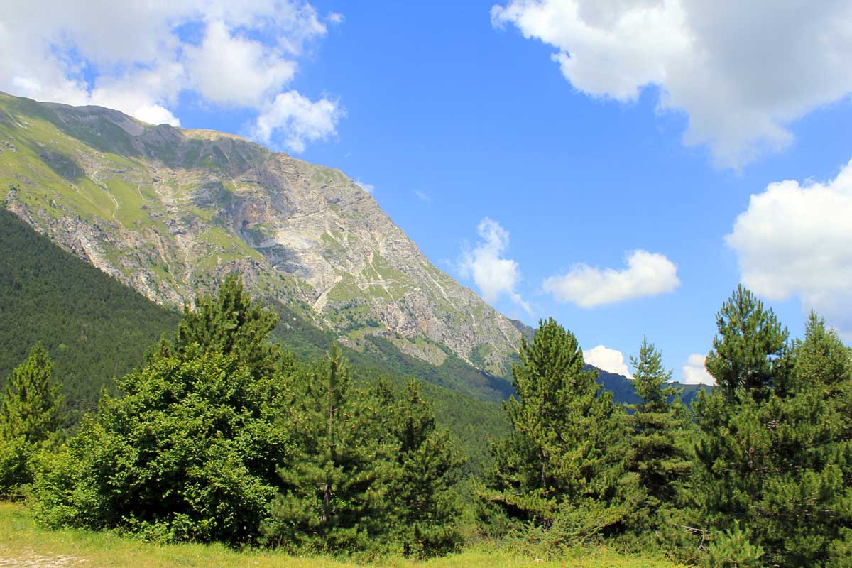
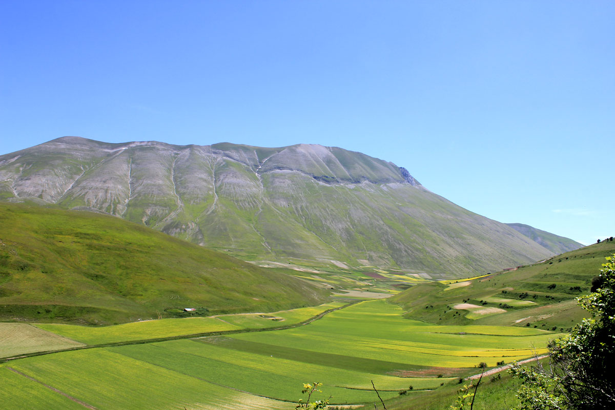
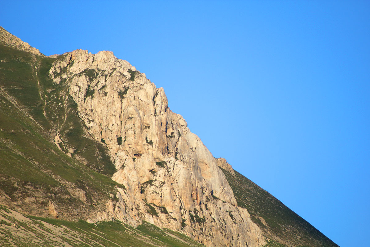
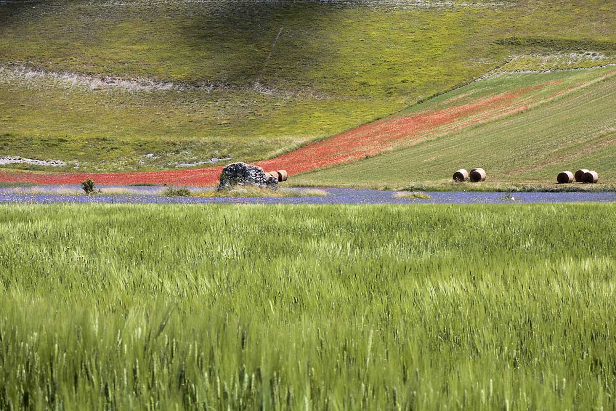
The horseshoe sinks inside to a height of 1940m. above sea level in the basin of Lago di Pilato. A peculiarity of Mount Vettore is certainly its appearance so different from the Umbrian side and the side of the Marches. To the west the mountain rises from the Pian Grande di Castelluccio for nearly 1000 meters, completely bare of vegetation, and even though the imposing wall has its own sweetness, interrupted only at an altitude of 2000 m. – 2100 m. from a horizontal fracture (a fault of 4 km), the “Fairies’ Way”, and the big rock of Aquila. To the east, in the Marche Monte Vettore seems completely different, a huge mass of rock that hangs over the villages below: Pretare, Piedilama, undoubtedly creating a landscape of the Dolomites.
Pilato Lake
Hiking and trekking on Monte Vettore
Visit the page of activities to discover the organized trekking, and the page of hiking trails without guide.
Disponibile anche in: Italian